Skip to Content, Navigation, or Footer.
Wednesday, Dec. 4
The Indiana Daily Student

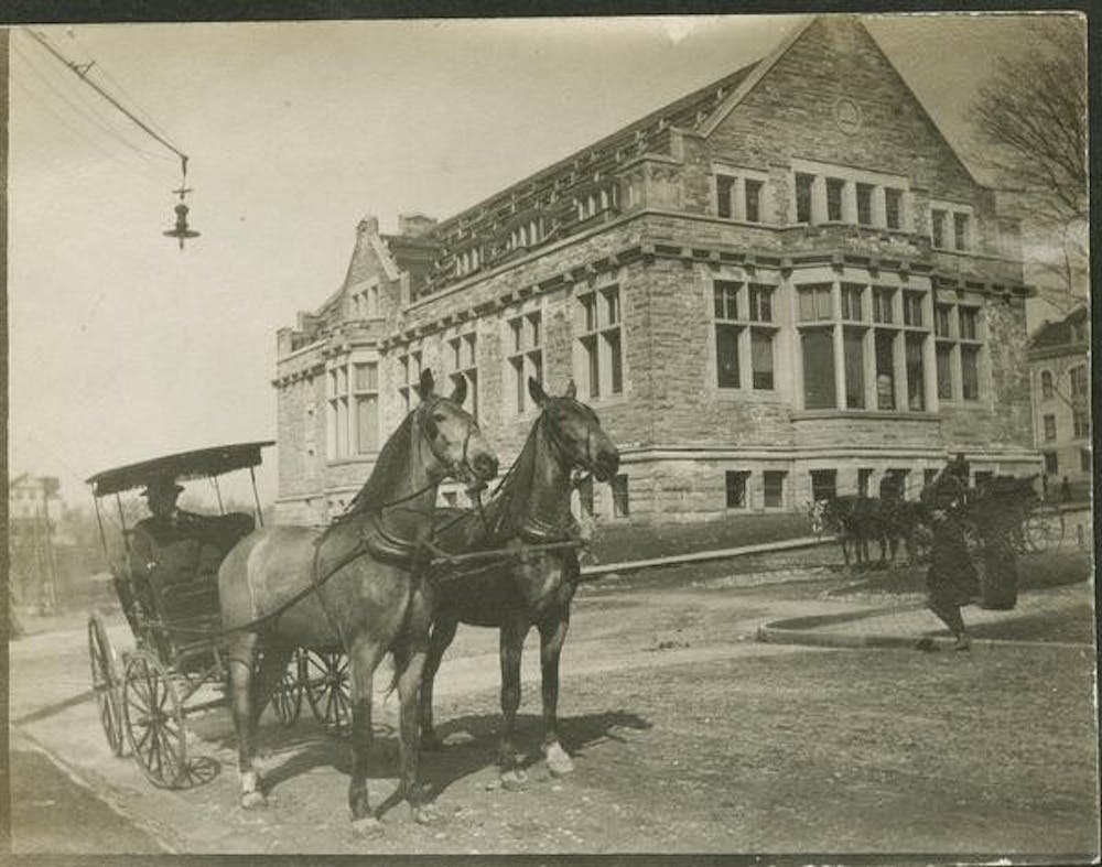
Franklin Hall is seen in a photo taken in 1907 just before construction on the building was completed. IU visiting geography professor John Baeten recently published an interactive map of Bloomington from the early 1900s as part of his “Reconstructing Bloomington” project. Photo courtesy of IU Archives

cabloomhistory092321.jpg

Franklin Hall is seen in a photo taken in 1907 just before construction on the building was completed. IU visiting geography professor John Baeten recently published an interactive map of Bloomington from the early 1900s as part of his “Reconstructing Bloomington” project.